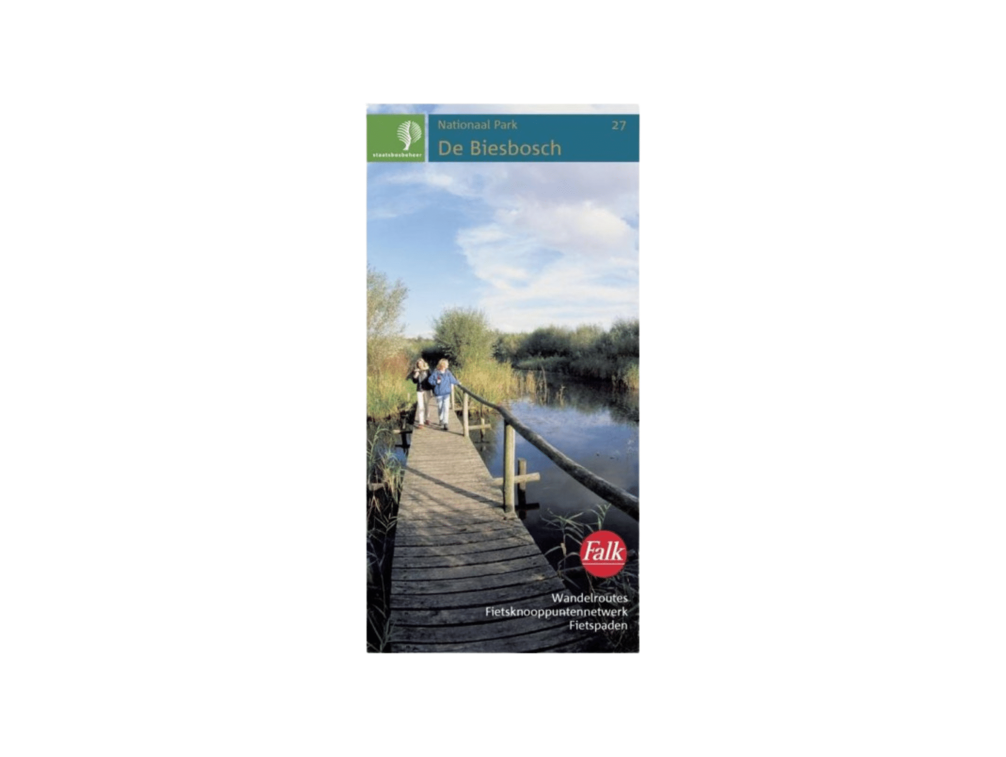
Plan National Park De Biesbosch
€8,99
Product description
Map National Park De Biesbosch: a map of National Park De Biesbosch with walking routes and all bicycle junctions. This map is a practical overview map of National Park De Biesbosch that folds out. De Biesbosch is a rare and beautiful area created by the Sint Elisabethflood in 1421. De Biesbosch is also the largest freshwater tidal area in Europe. On this map you will find hiking trails to explore the nature reserve on foot. Would you rather go by bike? The map also shows all the bicycle junctions.
The map is a collaboration of the Forestry Commission and Falk to map Dutch natural areas. The Biesbosch is map number 27.
Scale: 1 : 25,000
Prefer a mapped out route with explanations? Then try this Hiking Guide Hollandse Biesbosch with six written out walks.