Products
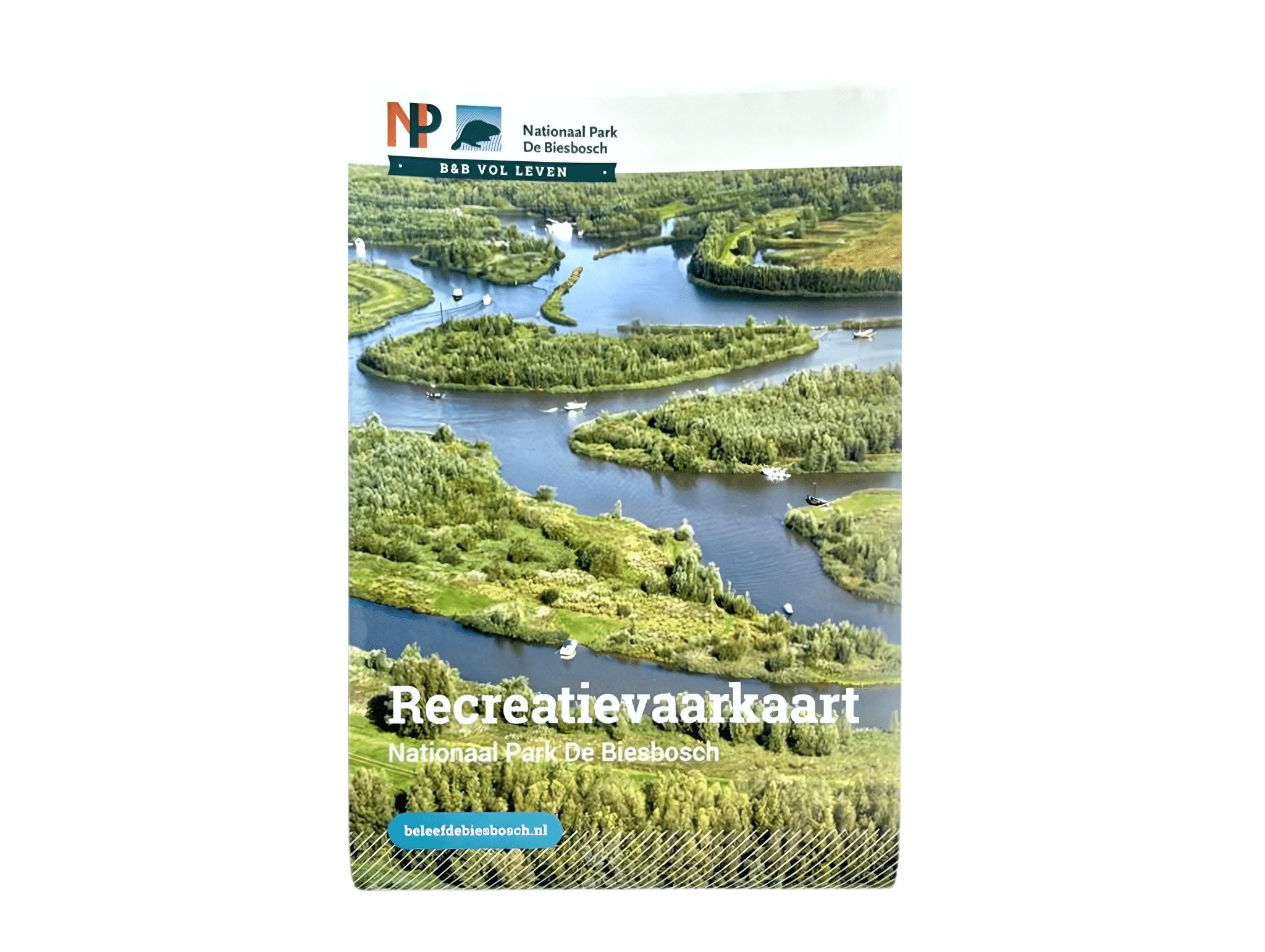
Recreational boating map National Park De Biesbosch
€4,50
In stock
Product description
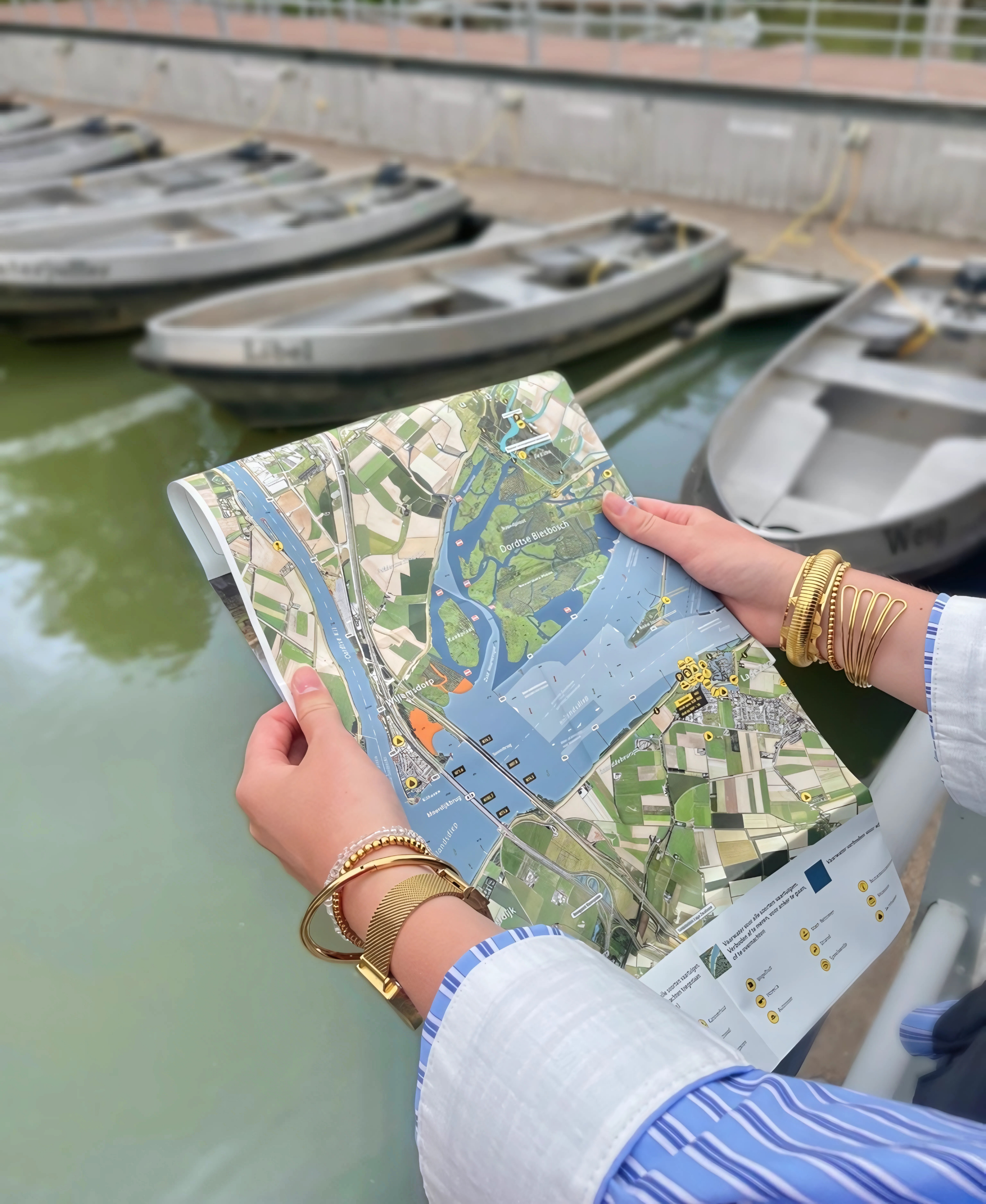
Recreational boating map National Park De Biesbosch: a detailed map of National Park De Biesbosch. This well-organized map is indispensable for anyone who wants to sail in the Biesbosch! The satellite image gives a clear overview of the Biesbosch. In addition, the map indicates sailing speeds and possible sailing routes. The map is printed on tear-proof and waterproof paper.
Scale: 1 : 25,000
Curious about another water chart? Take a look at this Biesbosch water chart from the ANWB. Curious about hiking and biking routes in National Park De Biesbosch? Take a look at this map National Park De Biesbosch.