Products
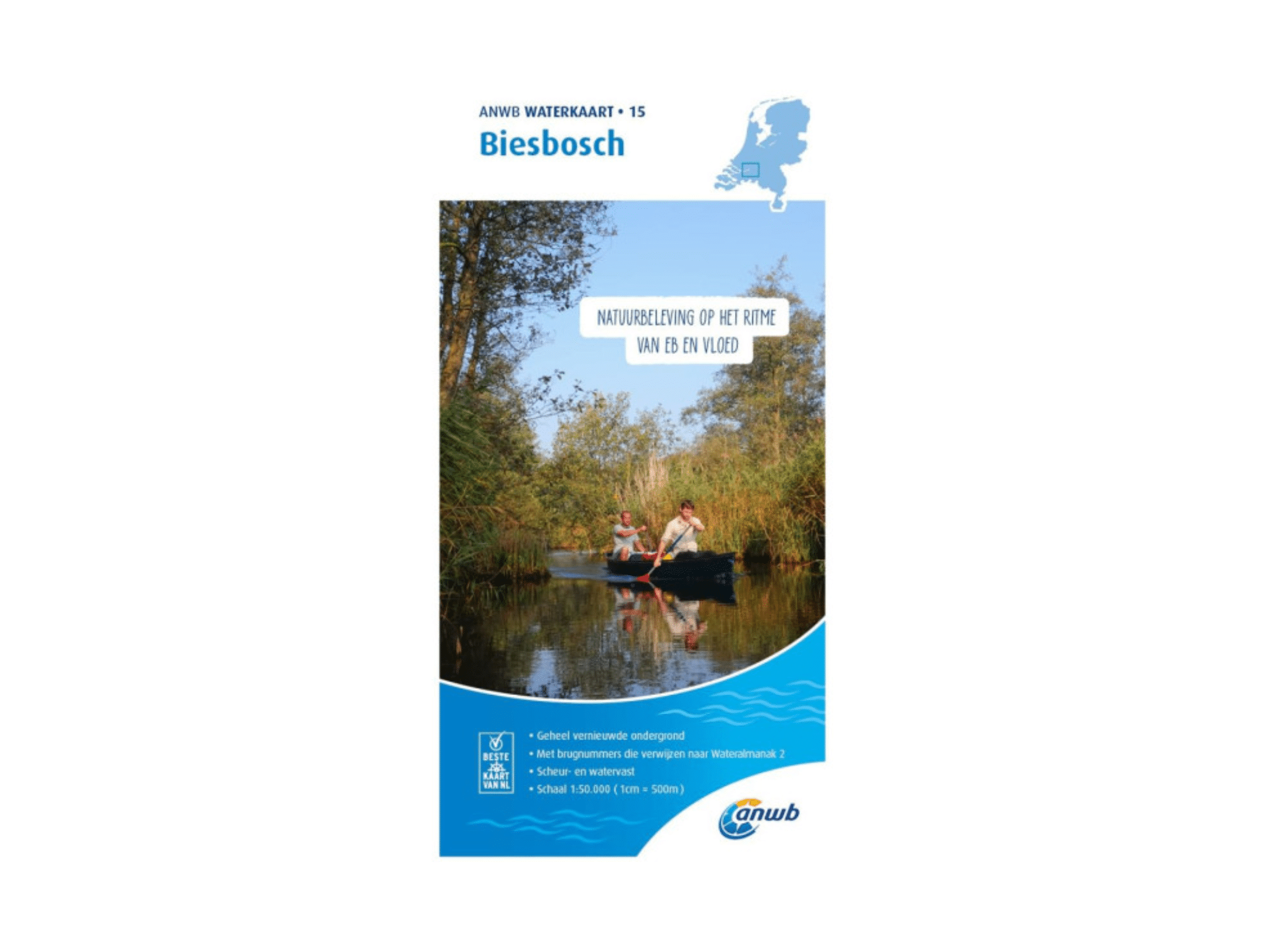
Biesbosch water chart
€17,99
In stock
Product description
Waterkaart Biesbosch: a map from the ANWB for water sports. The map has a completely redesigned and improved background and is printed on tear-resistant and waterproof paper. The detailed map includes bridge numbers, fuel outlets, the maximum draught, the most important harbors and places, maximum sailing speeds and an extensive legend.
Scale: 1 : 25,000 / 1: 50,000
Curious about another water chart? Then take a look at this Recreational Boating Map National Park De Biesbosch. Curious about other hiking and biking routes in National Park De Biesbosch? Then take a look at this National Park De Biesbosch map.