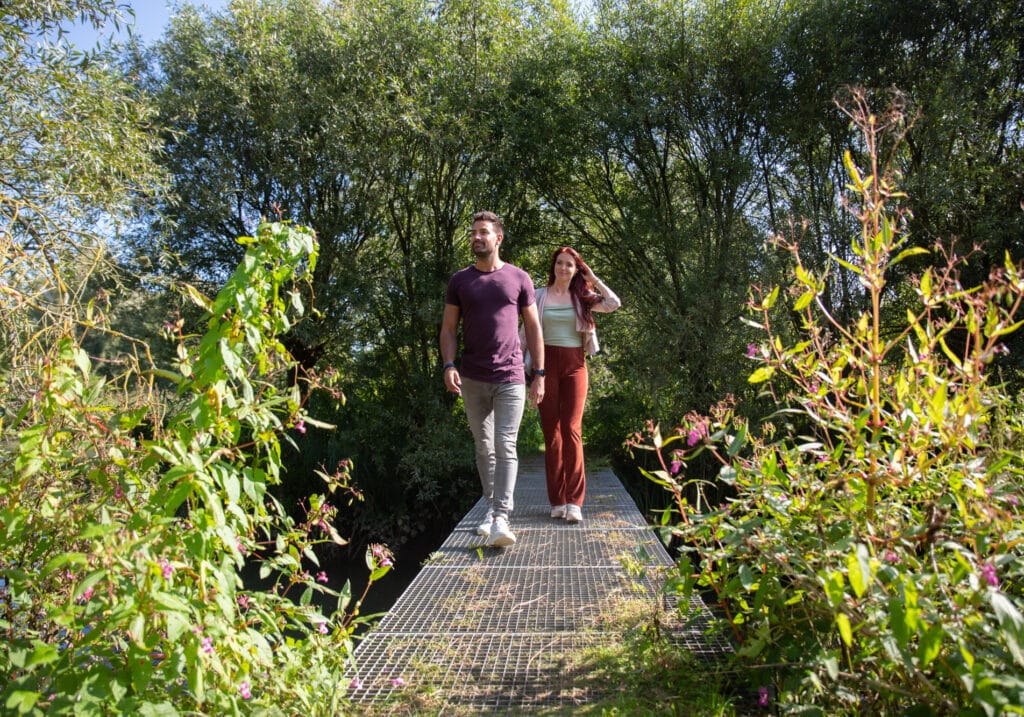
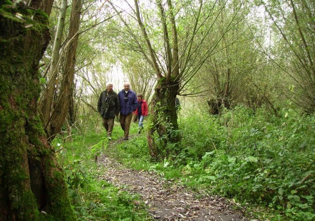
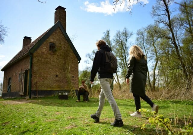
On the Island of Dordrecht it is attractive every season to take a brisk nature walk. In Dordrecht and its surroundings, mapping out your hike is very easy with the nodes of the hiking network. The hiking network around Dordrecht is no less than 190 km long and unlocks many beautiful paths and iconic spots in the region. Besides the three highlights Biesbosch, Kinderdijk and the historic center of Dordrecht, enjoy the water and the polders. The Waterbus makes it extra easy to connect these highlights.
Tie your laces and discover the nature of the beautiful (hiking) island of Dordrecht.
Planning your own route
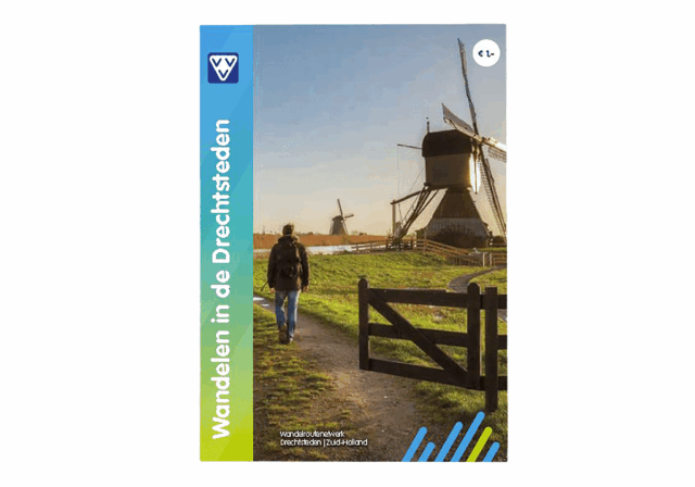
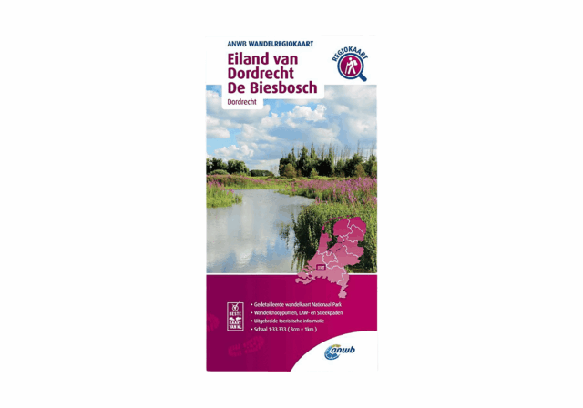
The handy and handy walking map "Walking in the Drechtsteden" and the ANWB Wandelregiokaart "Eiland van Dordrecht en De Biesbosch" are handy aids when mapping out your route. All walking junctions in the region are indicated and there are tips for short and long walks. The walking maps are available from VVV Dordrecht and in the VVV web shop.
If you prefer to plan your route online check out hiking route planner on wandelnet. There you will also find lots of routes, a route planner and an app. You will certainly not get lost on your walk through the inner city of Dordrecht , across the Eiland van Dordrecht or the National Park the Biesbosch.
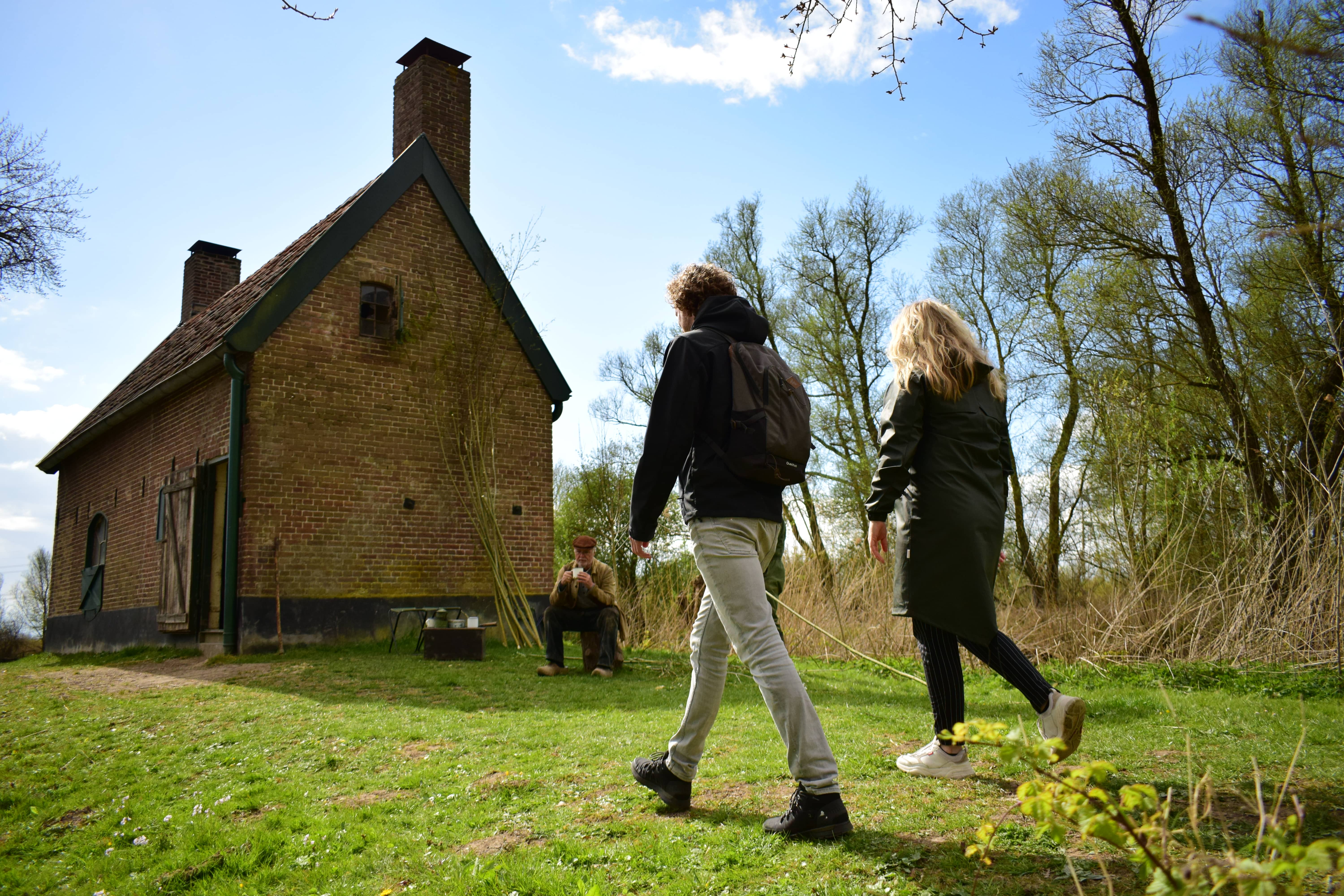
4 or 5 day walking tour through the Biesbosch
Immerse yourself in the overwhelming delta nature of National Park De Biesbosch! The IVN has set out a trek without markings in the field, so you navigate the route using the free app IVN Routes. During the hike you will hear in the app the audio story The longing for the other side, in which a boatman in De Biesbosch searches for where his longing for the other side comes from. Together with the skipper, you trek along the Waterliniepad, the vast delta nature of the Oost- and Noordwaard of the Brabant Biesbosch and then the Dordrecht Biesbosch.
On the route, you can stop by several Hosts of the Biesbosch for an overnight stay, a cup of coffee with a strong story and/or a nice lunch. The daily treks vary from 15, 3 to 20 km per day and you can reserve your own places to stay overnight. If you want to make it really easy for yourself, you can book the trek as a package and everything will be arranged for you.
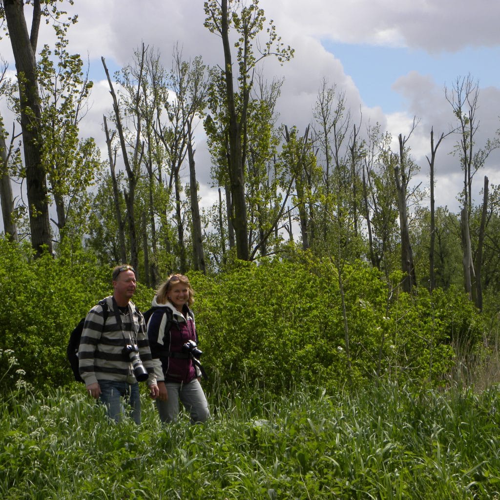
New Dordt Biesbosch is whole new experience
Walking in the Nieuwe Dordtse Biesbosch nature reserve offers you an entirely new experience.The special polder structure, the creeks, the dikes and the location on the river make it an ideal walking area. Walk the Bolbakenroute (2.9 km), this route has posts with QR codes. Put the Izi.travel app on your phone and then you can scan the QR codes along the way. You will then see short films about the history of the area: the story of the Sint Elisabethflood, drowned villages, lost rivers and bulb beacons, but also about the work in polder De Biesbosch.
If you want to walk some more or come back another time for the Haniasluis route (2.2 km). At this route you can use the same app to watch movies about the origins of the area in the 11th century. It also shows the story of reclamations, water management and a 16th century ferry connection to Lage Zwaluwe. You'll pass the 1799 Hania Lock that is now a shortcut for beavers.
In the New Dordtse Biesbosch Nature Reserve you can do plenty of hiking and biking. In addition to the above routes, there are more walking routes. The routes connect and start from the various parking lots. There you will find information boards with an overview map of all routes. The National Park de Biesbosch has made a special Hiking Special about this area.
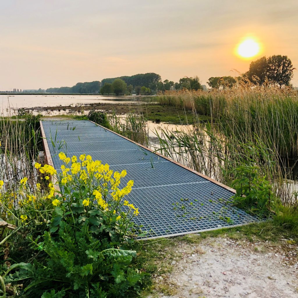
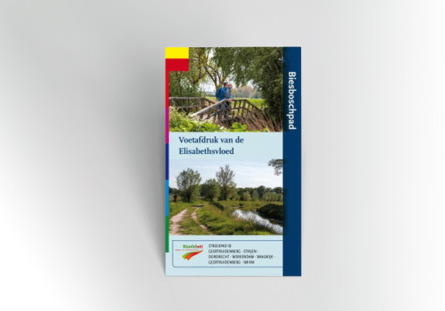
Biesbosch regional trail
The Biesbosch Trail is a regional trail of about 169 kilometers and was developed 600 years after the devastating Sint Elisabethflood. The Sint Elisabethsvloed flooded large parts of Holland and Brabant. The daily stages roughly follow the waterline of the floods of that time and the inland sea that was created then is now known as NP De Biesbosch. This regional path takes you in several stages over new and old dikes, through fortified towns and through the largest freshwater tidal area of Europe: NP De Biesbosch. Two day stages of this regional path pass through Dordrecht: stage Maasdam to Dordrecht station and stage Dordrecht station to Kop van 't Land.
