Flood route Dordrecht
Routes

Flood route

The water: sometimes a friend and sometimes an enemy.

Add to favorites

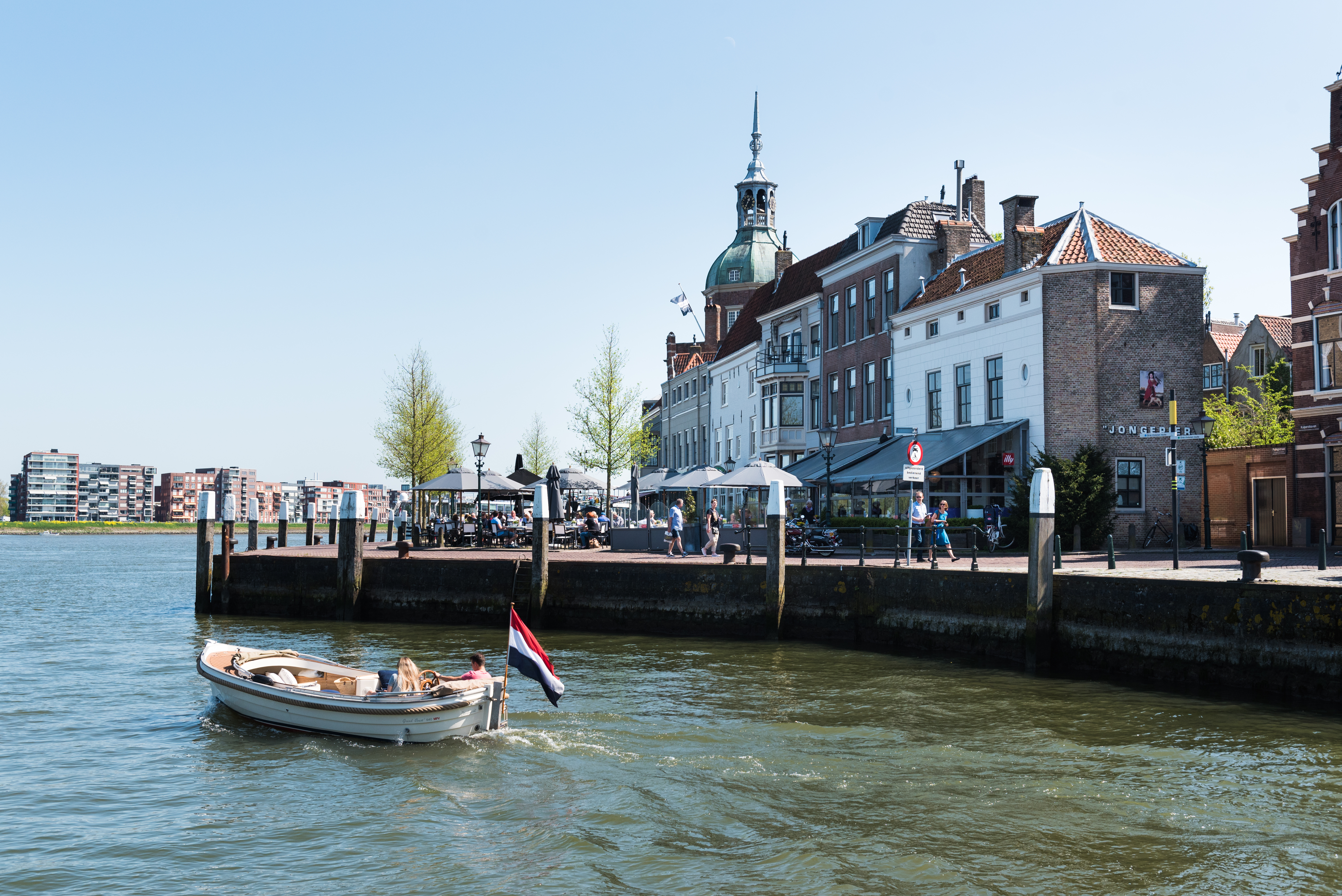
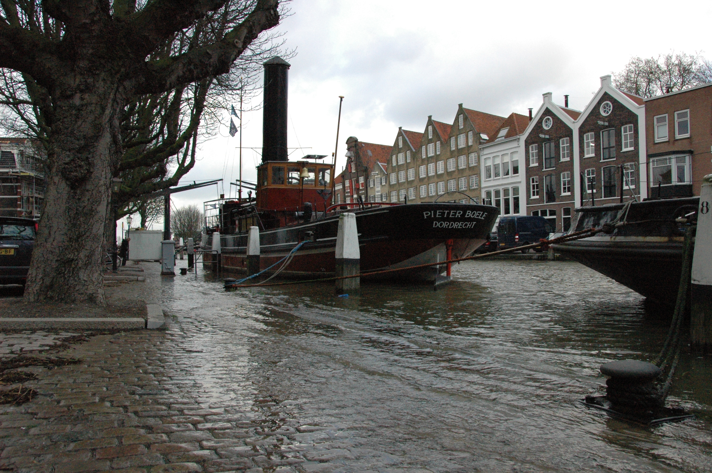
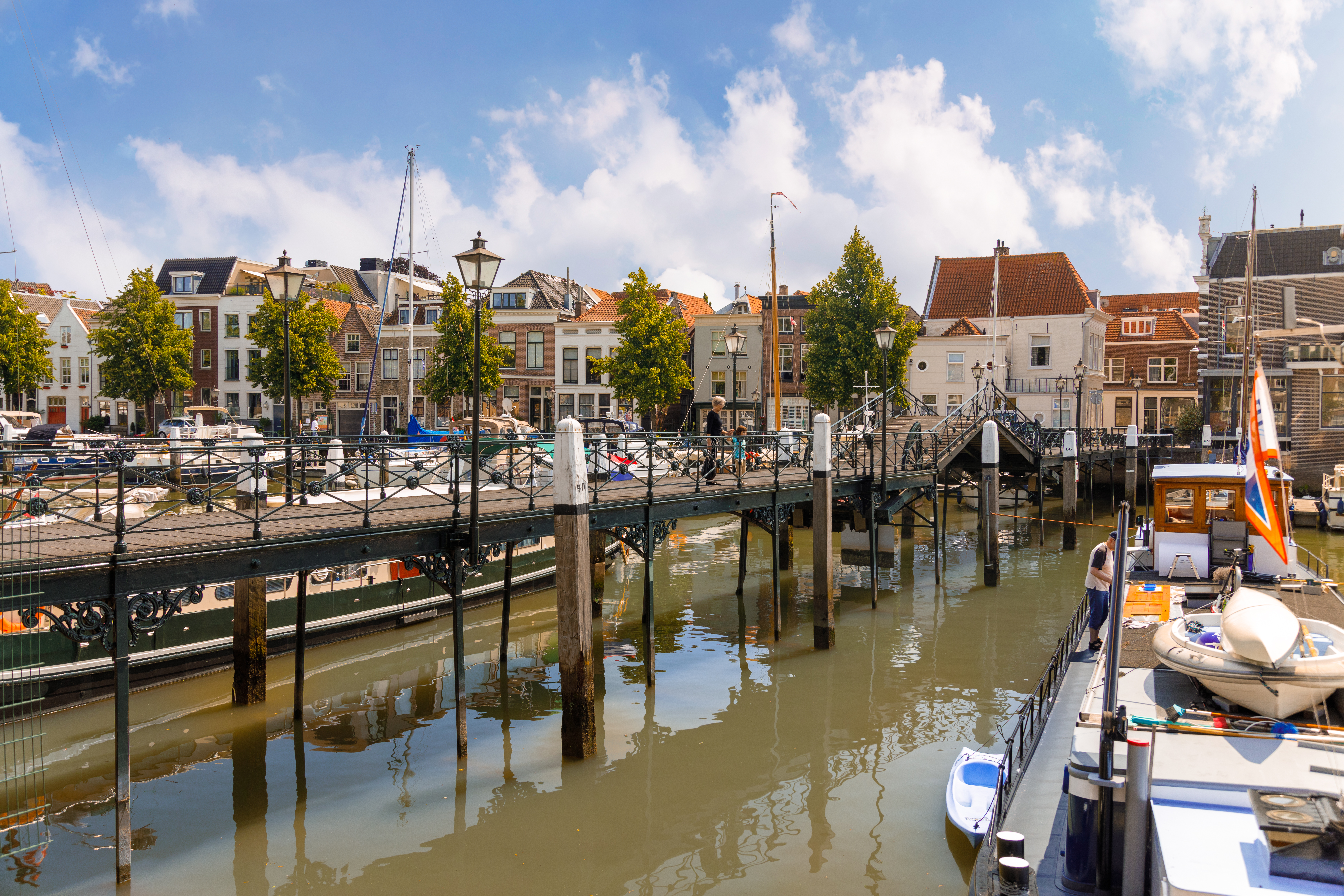
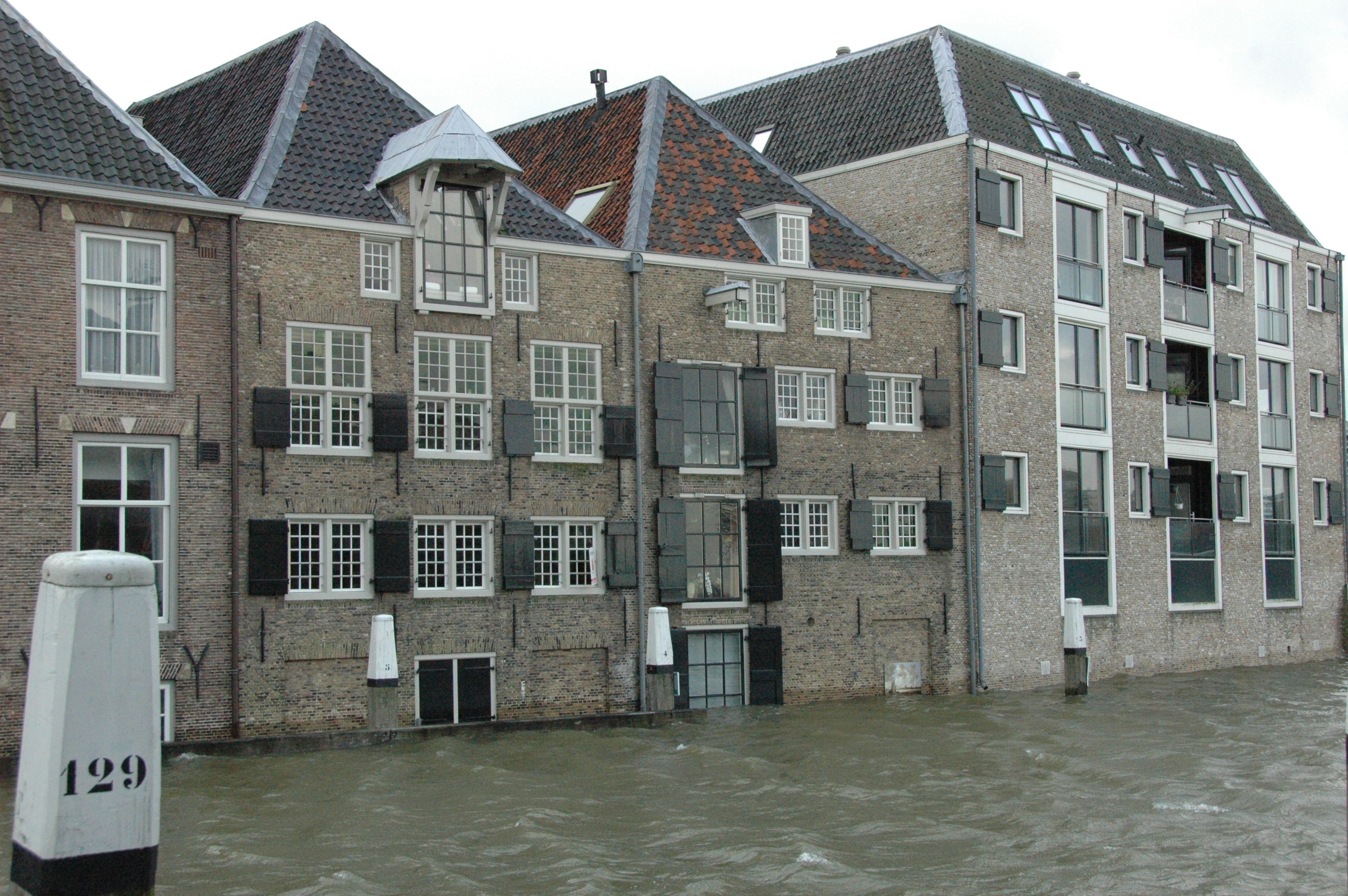
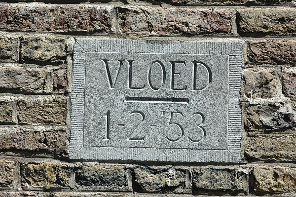
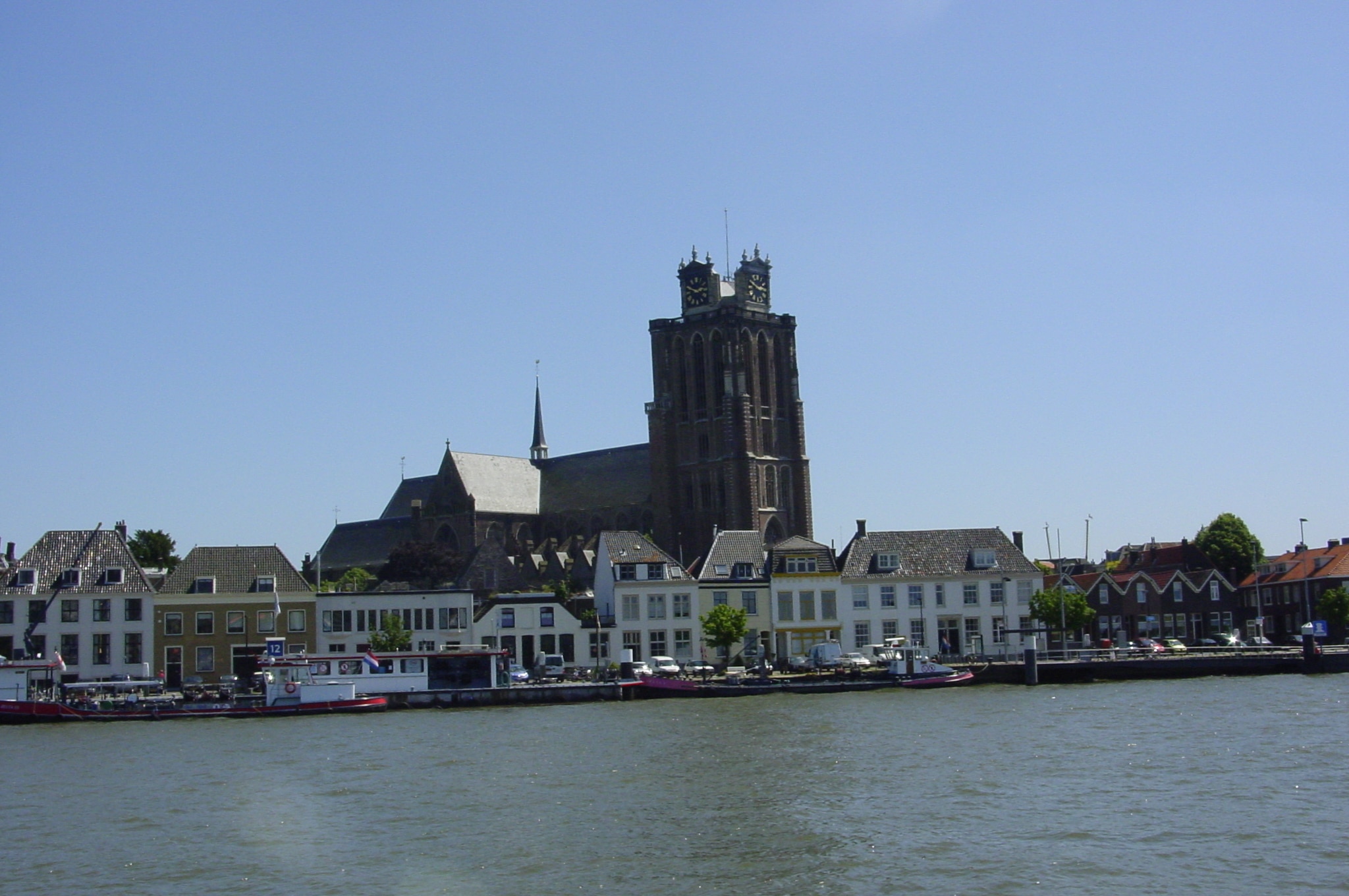
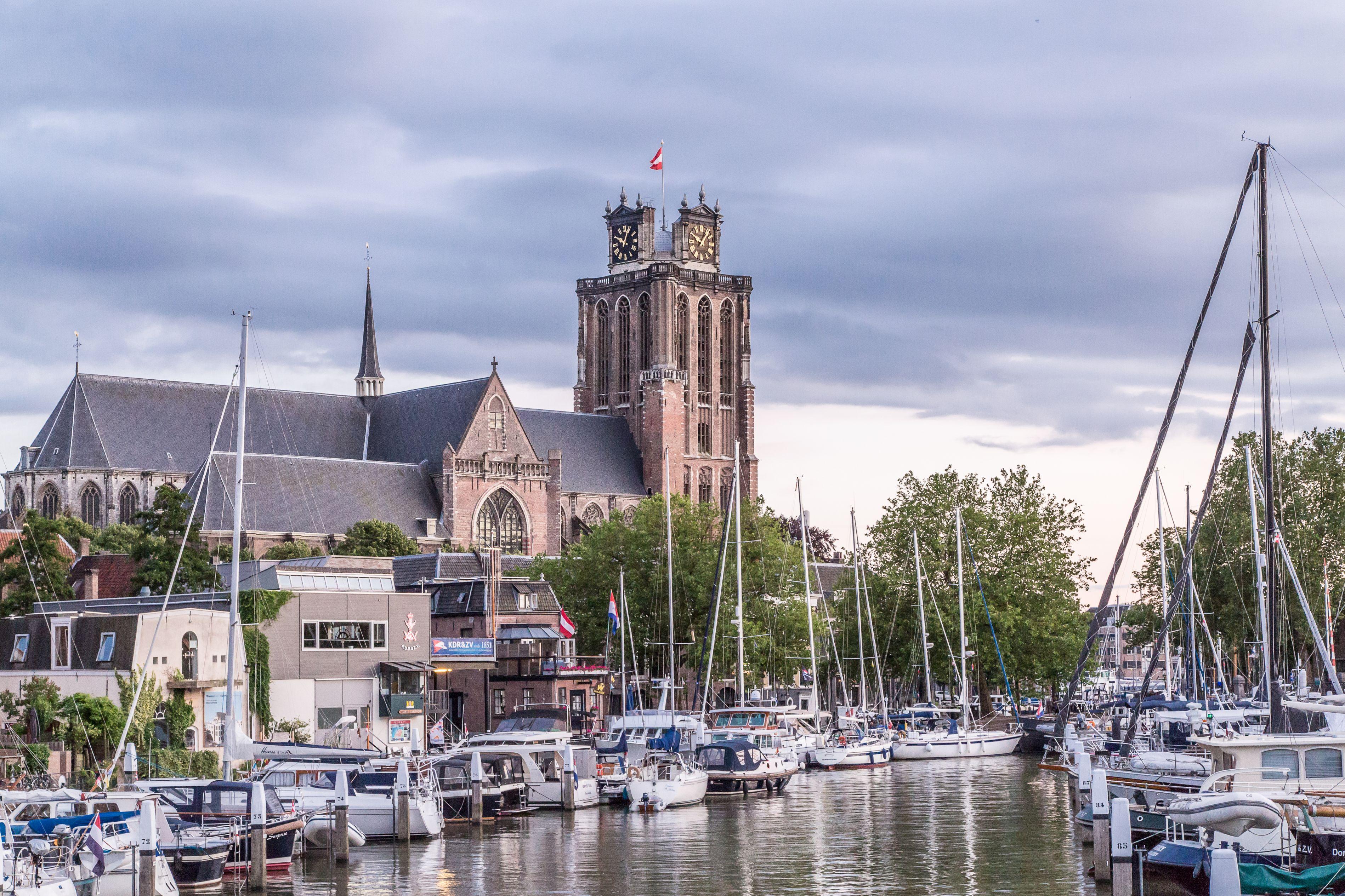
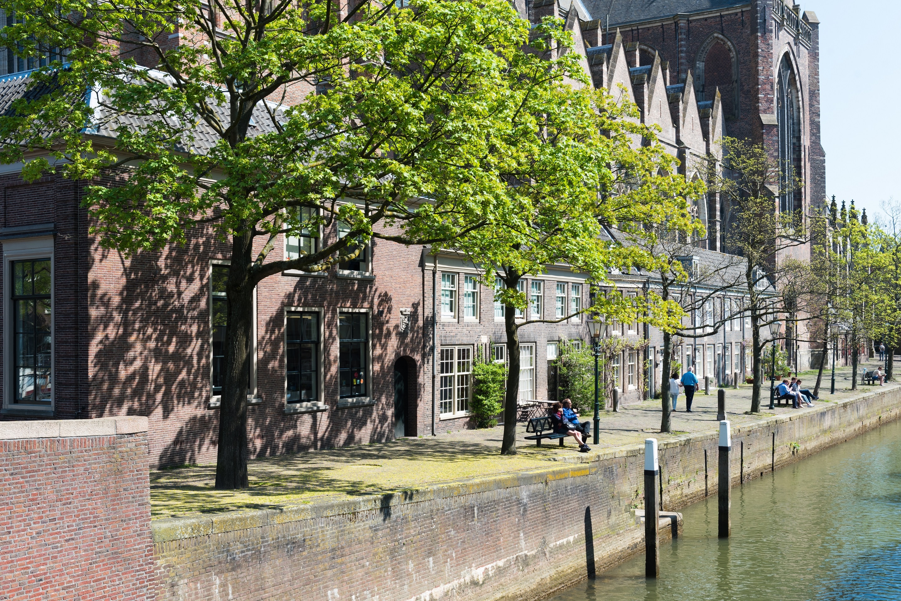
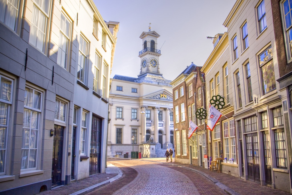
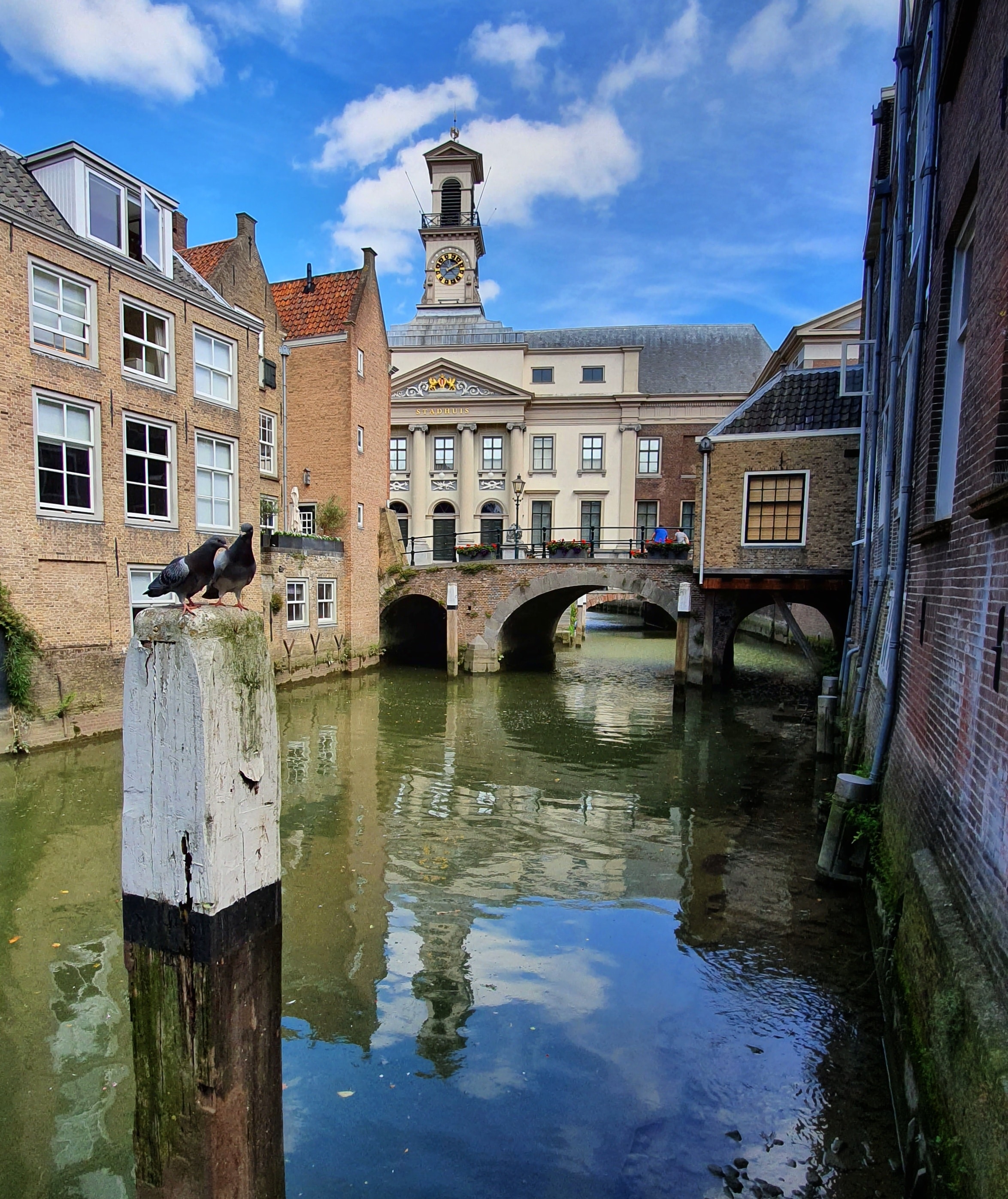
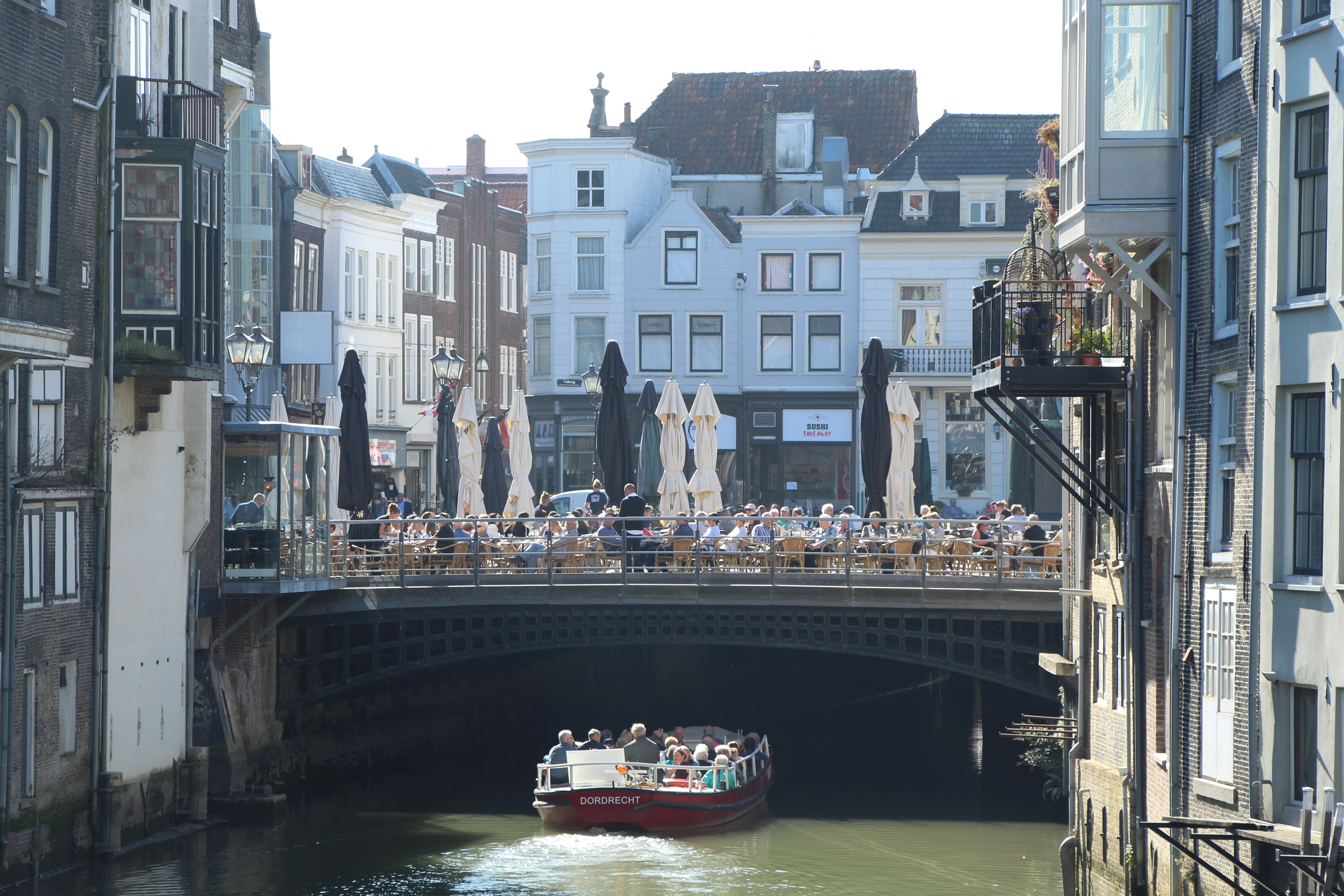
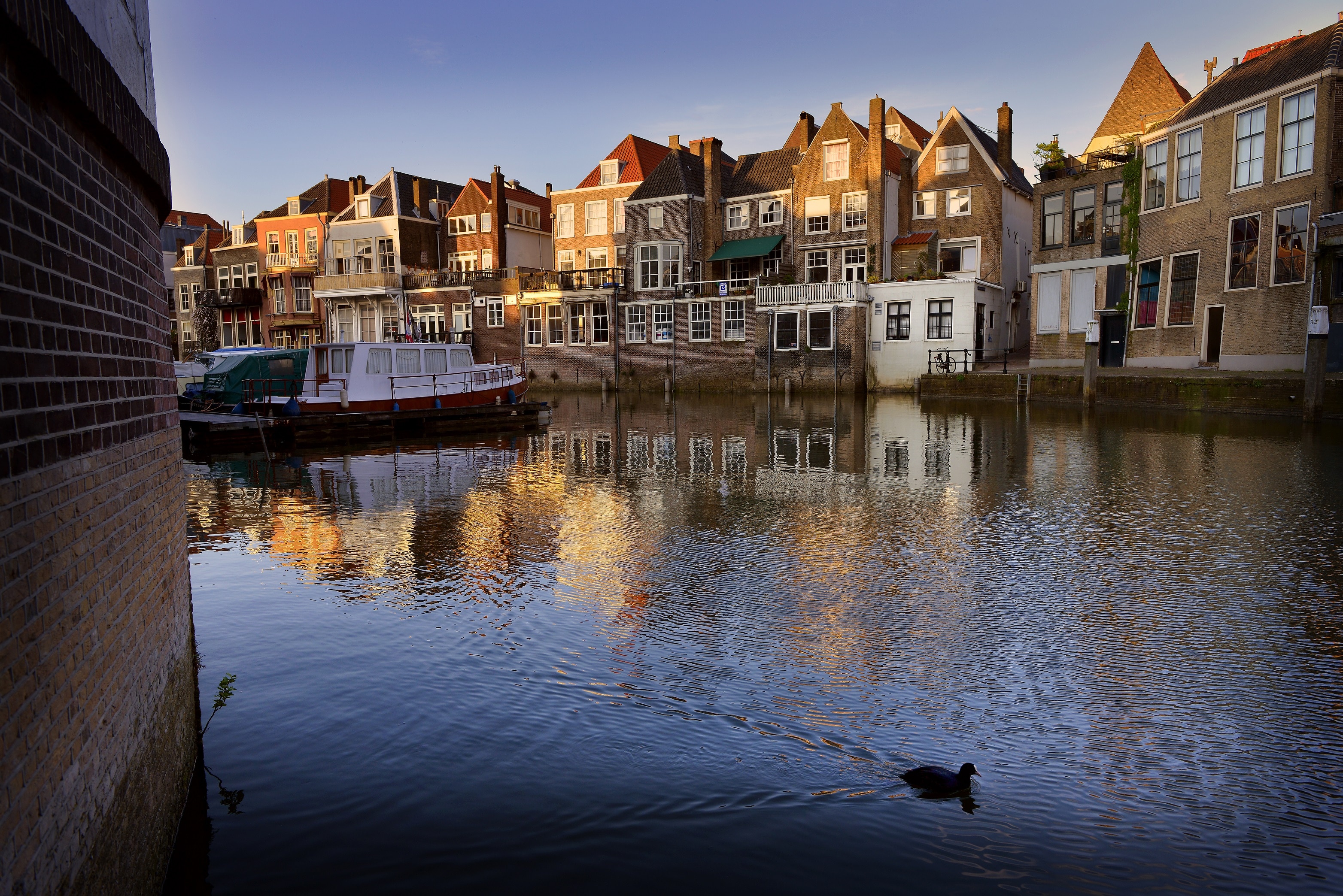
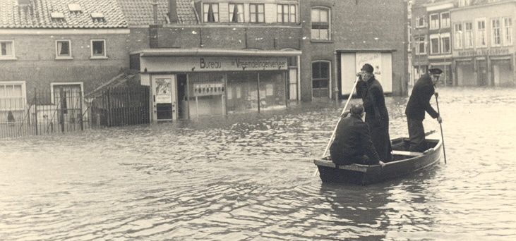
The city of Dordrecht and water are inextricably linked. Harbors, level gauges and flood stones hide facts and stories that make Dordrecht a true city of water. The walking tour passes many 'high water spots' that show how Dordrecht's inner city has dealt with high water in the past centuries.

TIP

  • Als je de kaart in Google Maps opent zorg dan dat je navigatie (bovenaan) op wandelen staat.
  • After following this route, do you have any comments or would like to leave a review? If so, please fill out this form.
Download the route Open route in Maps
1
Nieuwstraat shopping Tea shop No.28

Nieuwstraat-to a higher level

Statenplein

Het start- en eindpunt van de route is het Statenplein. Loop vanaf dit plein door de Nieuwstraat naar een opvallend hoger niveau, in de richting van de Voorstraat. Zonder dat je er erg in hebt, kom je op een dijk. Het is niet zomaar een dijk: het is de laagste zeedijk van Nederland. Deze winkelstraat heeft als taak Dordrecht tegen hoog water te beschermen.

2
Shop Voorstraat Noord Dordrecht

Voorstraat - Dutch lowest seawall

Voorstraat 256 B

A dike needs to be raised from time to time. But how do you do that if there are houses on it? It happened sparsely, too little. Things went well for a long time, until 1916, when the water level rose to 3.43 m above sea level. For the first time, the Voorstraat turned out not to be high enough and the water ran over it. In 1953, the level was even higher, namely 3.73 metres above sea level. The Voorstraat is now just as high as it was a hundred years ago.

3
Nieuwbrug Dordrecht - monument

Taankade - low beside the water

Taankade

A set of stairs next to the Nieuwbrug, built in 1851, leads to the Taankade. The Taankade was only extended to Nieuwbrug in 1961. Before that, the harbour was wider and the water reached the houses and gardens. The raised gardens and windows can still be seen, well above the dreaded high water levels. The Taankade is one of the first streets to be flooded during high water. The street section lies 1.96 metres above sea level.

4
Flood route

Turf jetty - flood boards against weak spot

Turf jetty

Langs de langgerekte havens liggen zestien steigers, steegjes die naar het water voeren. De steigers werden vroeger gebruikt voor aan- en afvoer van goederen. De bebouwing telt hier gaten waardoor bij zwaar weer het hoge water vanuit de haven binnen kan stromen. Het gemeentebestuur vond na de watersnood van 1916 al een oplossing in de vorm van vloedplanken. Het systeem bestaat, bij gebrek aan een waterdichte oplossing, nog steeds. Wel is het systeem iets aangepast. De planken zijn vervangen door stalen schuiven, die vloedschotten worden genoemd.

5
Facade stone Dordrecht

Riedijk - swaying boatmen

Riedijk

Zoals iedere stad aan het water had Dordrecht ook een uitgaansbuurt. De Riedijk en omgeving waren er tot kort na de Tweede Wereldoorlog voor Dordtenaren, vreemdelingen en varensgasten. De verlokkingen bestonden uit cafés, herbergen, bordelen en slijterijen. De gevelsteen van het Kleinschippers Gildehuis (nr. 102) verwijst nog naar het verre verleden.
Bij de overgang naar de nieuwbouw vertoont de Riedijk een ophoging. Voordat de nieuwe woningen werden gebouwd, omstreeks 1990, werd de waterkering hier op Deltahoogte gebracht. Eigenlijk horen de hele Riedijk en Voorstraat op dit niveau te liggen.

6

Papendrechts veer - travelling by water

The Papendrechtse Veer was the arrival point of many travellers for hundreds of years. They had to step ashore at the Veerhuis (1868), because there were no fixed shore connections. The current Waterbus is part of a unique network of public transport over water, with stops as far away as Rotterdam. Floating pontoons were used to create mobile moorings. This is handy when there is a big difference between high and low tide.

7

Groothoofd - busiest river junction in Europe

Groothoofd

Bij het Groothoofd heeft de wandelaar een geweldig uitzicht over het punt waar drie grote rivieren en één kleine samenkomen. Het Drierivierenpunt, zoals deze plek wordt genoemd, is dus feitelijk een vierrivierenpunt. Links stroomt de Oude Maas, vóór de Noord en rechts de Beneden Merwede. Onzichtbaar vanaf dit punt komt rechts ook het Wantij op de rivieren uit. Met 150.000 passerende schepen per jaar vormen de rivieren het drukst bevaren knooppunt van Europa.

8
Flood route

Wolwevershaven - Water over the quay

Wolwevershaven 20

De Wolwevershaven is zowel de naam van de haven als de kade. De naam van de haven is ontleend aan de vele lakenwevers die zich hier in de zeventiende eeuw vestigden. Het gemeentebestuur liet de Wolwevershaven in 1609 graven. De kade had, net als tal van andere buitendijks gelegen plaatsen, in het verleden regelmatig te maken met wateroverlast. Dat gebeurde vooral bij een noordwesterstorm op zee, maar soms ook bij overvloedige aanvoer van smelt- en regenwater dat de Rijn afvoerde. Met een hoogte van 2,25 meter boven NAP liep het water al snel tot aan de – verhoogde – deuren. Ernstige water-overlast was er in 1916, maar ook in 1928, 1954, 1962 en 1965. En natuurlijk in 1953, bij De Ramp op 1 februari. De overlast
verminderde na 1970, toen het Haringvliet werd afgesloten en de verschillen tussen eb en vloed sterk werden teruggebracht.

9
Visiting Dordrecht - Nieuwe Haven

Nieuwe Haven / Knolhaven - Pleasure boating at a wonderful bridge

Knolhaven

After the stone Roo Bridge, the connection between the two harbors, continue to the Knolhaven. It is not a harbor, but the name of a quay, along the Nieuwe Haven. It is the home port of the Royal Dordrecht Rowing and Sailing Association. On the Knolhaven was also the fish market. On the left is a little square with the unique cast-iron awning of the fish market. Spread across the Nieuwe Haven is the wondrous Long Iron Bridge. The bridge, with a movable center section, replaced a wooden bridge in 1855. Its iron successor was designed by city architect Itz. The digging of the New Harbor began in 1409. After completion, lumber merchants settled on Knolhaven side.
On the other side of the bridge, where the quay is also called Nieuwe Haven, warehouses and businesses stood for a long time. Now it is a real residential street.

10
Flood route

Engelenburgerbrug - Houses in the water

Engelenburgerbrug

The houses near the Engelenburgerbrug make it clear at once: Dordrecht, city on the water. The residents take it for granted that their dwellings sometimes flood during high tide, or they have taken measures to protect their facades. Near the bridge is a level gauge.

11
Flood route

Tide Stone - Escaped the Disaster

Korte Engelenburgerkade 2A

At the end of Korte Engelenburgerkade, an elongated warehouse stands on the right. Between the signs Nuremberg and England, a flood stone can be seen at eye level. That's how high the water rose in 1953 during the flood. On February 1, 1953, 1,835 people died on the Zeeland and South Holland Islands, when a heavy storm helped by spring tides caused dikes to fail. In Dordrecht, two people were killed. The city escaped The Disaster, although all inner and outer dike areas of the inner city were flooded. That a tragedy did not occur was due to the efforts of hundreds of Dordrecht citizens,
but mainly to a tragedy elsewhere. In 's-Gravendeel, a crucial dike collapsed and a large part of the Hoeksche Waard flooded, suddenly reducing the pressure on the Dordrecht dikes. In 's-Gravendeel, 37 people drowned.

12
Great Church - Flood Trail

Hooikade - high doors and windows

Hooikade

Met 2.25 meter boven NAP loopt de Hooikade bij hoge rivierstanden of een noordwesterstorm vrij snel onder water. Aan de woningen is te zien dat bij de bouw al rekening is gehouden met wateroverlast. Zo zijn deuren en dorpels een niveau verhoogd, zodat het water van de Oude Maas niet snel naar binnen kan stromen. Ook de woonlaag ligt vaak hoger. Aan het einde van de Hooikade meert de Waterbus naar Zwijndrecht af.

13

De Grote Kerk is met zijn karakteristieke stompe toren al eeuwenlang het gezichtsbepalende bouwwerk van Dordrecht. Met de fundering van de toren, die doorloopt tot 7,5 meter onder de grond, werd vermoedelijk in 1339 begonnen. De twaalf miljoen kilo metselwerk rust op een relatief stevige kleiige veenbodem. Al in de twaalfde eeuw woonden hier mensen, rond een tufstenen kerkje. De bewoners hebben de plek waarschijnlijk iets opgehoogd, in de vorm van een terp, waardoor ze minder kwetsbaar werden voor het water.

Grote Kerk Dordrecht
14

Pottenkade - Waste collection point

Pottenkade

The location on the water requires extra maintenance of the houses. In the 1990s, large parts of flooded Dordrecht were restored in a special way. Construction workers replaced the stones of the nearly disintegrating walls, up to two metres below water level. They also installed stainless steel pipes, which serve as sewers. For a long time, the harbour had been a dumping ground for decaying household waste, slaughter remnants and animal and human excrement. Now you can swim in it.

15
Dordrecht City Hall

City Hall - House on and across the water

Voorstraat 367

Via the Pelser Bridge and Voorstraat-west, you reach the City Hall, part of which spans the Voorstraat harbor. It was built in 1383 as a covered market hall for cloth. In 1544, the administrators of Dordrecht occupied the hall as `Stedehuys'. In 1975, the college administration and their officials moved to the modern City Office on the Spuiboulevard. The city council still meets here. Tide stones can be seen under the left lion.

16

Fish bridge - Gothic above the harbour

Voorstraat 347

From the Visbrug, the original Gothic style of the Town Hall is clearly visible. The arches above the windows are important features.

17
Flood route Dordrecht

Scheffersplein - Harbour overpass

Tolbrug 3

Loop dwars over het Scheffersplein naar de Wijnstraat. Plein is in dit geval een bedrieglijk woord. Het ‘plein’ vormt in feite de bedekking van een brug. De pleinbrug is een overkluizing van de Voorstraatshaven. Straks ziet u het zelf.

18

Wine Bridge - 'Venice of the North

Wine Bridge

The Wine Bridge gives a nice view of the Scheffers' Square. The terraces rest on the site of the former Toll Bridge. The wooden structure was replaced a few hundred years ago by a stone vault, which lifted the square, so to speak. In 1854, the city council decided to reinforce the bridge. On the Wijnbrug side, fourteen cast-iron trusses were installed, at the time the largest cast-iron span in the Netherlands. The addition of two sections widened the square bridge.
The other side of the Wijnbrug shows Dordrecht at its most beautiful. Not for nothing did travelers in the past describe the city as "The Venice of the North" and "galley in the water. Just walk on and you are back on the Statenplein.

Similar routes

Photograph Grote Kerk Pelserbrug Dordrecht
City tour

Treasures of Dordrecht

20 Locations
Prince Henkdrik Bridge Bridge keeper house Dordrecht
Cycle route
City tour

Bridge keeper's houses Dordrecht

5 Locations
Dordrechts Museum garden
Nature walk
City tour

Tree knights walk

8 Locations
Cycle route
City tour
Street Art

Bird Art & Abstract

16 Locations
Facade stone Dordrecht Nieuwstraat 23
City tour

Tour of Dordrecht's gable stones

25 Locations
Valentine Do Dordrecht Gift Long Iron Bridge couple
City tour

Love route

13 Locations